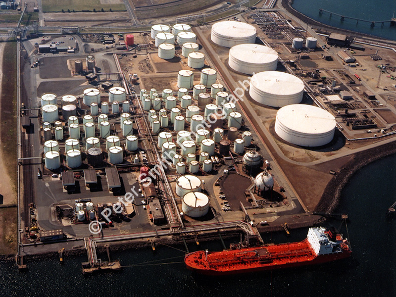
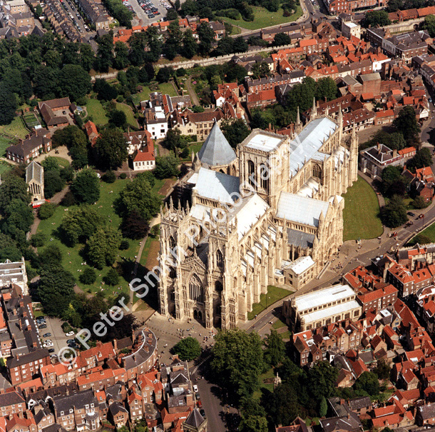
|   Aerial 
              Photography  
            Commercial 
              | Environmental | Aerial 
              Video 
            Peter 
              Smith is qualified to Associate level with the British Institute 
              of Professional Photographers, The Master Photographers Association 
              and The Royal Photographic Society, specifically in Aerial Photography. 
              Peter Smith Photography are engaged by Multinational Companies, 
              Corporate Organizations, Local Authorities, Government Agencies, 
              TV Companies, Highways Agencies, Construction Companies, The Environment 
              Agency, Port and Coastal Authorities, Water Authorities, Local Police 
              Forces as well as a number of Petrochemical Installations and Private 
              Companies. Work undertaken usually is reproduced in company accounts, 
              corporate brochures, sales and technical literature, planning applications, 
              planning appeals, but we also supply large format enlargements for 
              wall hanging etc. All work can be supplied either conventionally 
              or digitally. 
            Construction 
              For the construction industry we have a selection of progress photography 
              packages available, or tailor made to your requirements. Peter Smith 
              has over 20 years experience of this type of work, his projects 
              have covered Roads, Rivers, Tunnels, Industrial Complexes, Petrochemical 
              Installations, Airfields, Water Treatment Works to name but a few. 
              The end results can be supplied on film, print, transparency, CD 
              Rom, e-mail and video. 
            Road 
              and Highway Planning 
              Working closely from maps supplied by the client, aerial photography 
              and video can be shot of proposed routes. This can be GIS referenced 
              if required, and integrated into digital mapping packages which, 
              when played back will show the picture with the map in the background, 
              facilitating all sorts of opportunities for planners, designers 
              and contractors. 
            
             
              Pipeline Planning 
              A variety of aerial photography and video packages are available 
              for the pre-planning stages of Gas, Water and Chemical pipeline 
              work. Photographs and digital video can be GIS referenced for integration 
              with mapping packages commercially available.  
       |